Auburn Avenue runs east out of downtown Atlanta, and for the first half of the twentieth century it was the commercial spine of Black Atlanta. Banks, insurance offices, barbershops, churches, a newspaper and a drugstore stood on both sides of the street within a few blocks of each other. Then a motorway was driven through the middle. What is left is not a museum and not a ruin. It is a working street with a hole in it, and you can read the hole if you know what you are looking at.
What Sweet Auburn was
Start with the shape of the street rather than the story of any one building. Auburn Avenue was laid out as a commercial corridor, which means it has a particular kind of geometry: narrow frontages, buildings that meet the pavement, upper floors that were built for offices or lodgers, and a density that only makes sense if people were arriving on foot, by streetcar and later by car to do business in a few square blocks. That geometry survives in stretches. When you walk it, you are reading a business district, not a residential neighbourhood that happened to acquire shops. The width of the pavement, the spacing of the doorways and the height of the blocks are the evidence. Look at how the buildings sit against the street before you look at any plaque.
The reason the street mattered is that Black Atlanta could not do business elsewhere. Segregation confined Black commerce, Black banking, Black insurance and Black professional life to a limited number of blocks, and Auburn Avenue was the densest of them. That concentration produced institutions that would not otherwise have existed at that scale: a savings bank, an insurance company, a newspaper, doctors and dentists with offices above shops, a drugstore that functioned as a meeting point. The street was not a single address. It was a whole ecosystem of adjacent businesses that depended on each other's foot traffic. Reading it as a list of landmarks misses the point. The point is the adjacency.
The churches anchor the geography. Ebenezer Baptist sits on the avenue, and so do other congregations that moved with the neighbourhood as it grew. Churches on a commercial street do a particular kind of work: they hold the corner, they draw people on days when the shops are shut, and they give the block a rhythm that is not retail. When you walk, notice how the churches interrupt the shopfronts, and how the blocks between them were built to carry the traffic that moved from one to the other on a Sunday. That pattern, church to shop to church, is the street as it was organised. It is also why the blocks between the churches are the most legible part of what survives.
The name Sweet Auburn is a piece of journalism, not a piece of municipal history. It was coined as a headline for the street's prosperity, and it stuck because it captured something real: this was a place where Black wealth was visible in brick and stone at a time when it was visible almost nowhere else in the South. That is the thing to hold in your head as you walk. You are not looking at a poor neighbourhood that was later recognised. You are looking at a commercial district that was deliberately cut, and the wealth that built it is the reason the surviving blocks still read as a high street rather than as a scattering of old buildings. The street was built to be busy. That is the standard against which you should measure it.
Reading the avenue block by block
What the motorway took
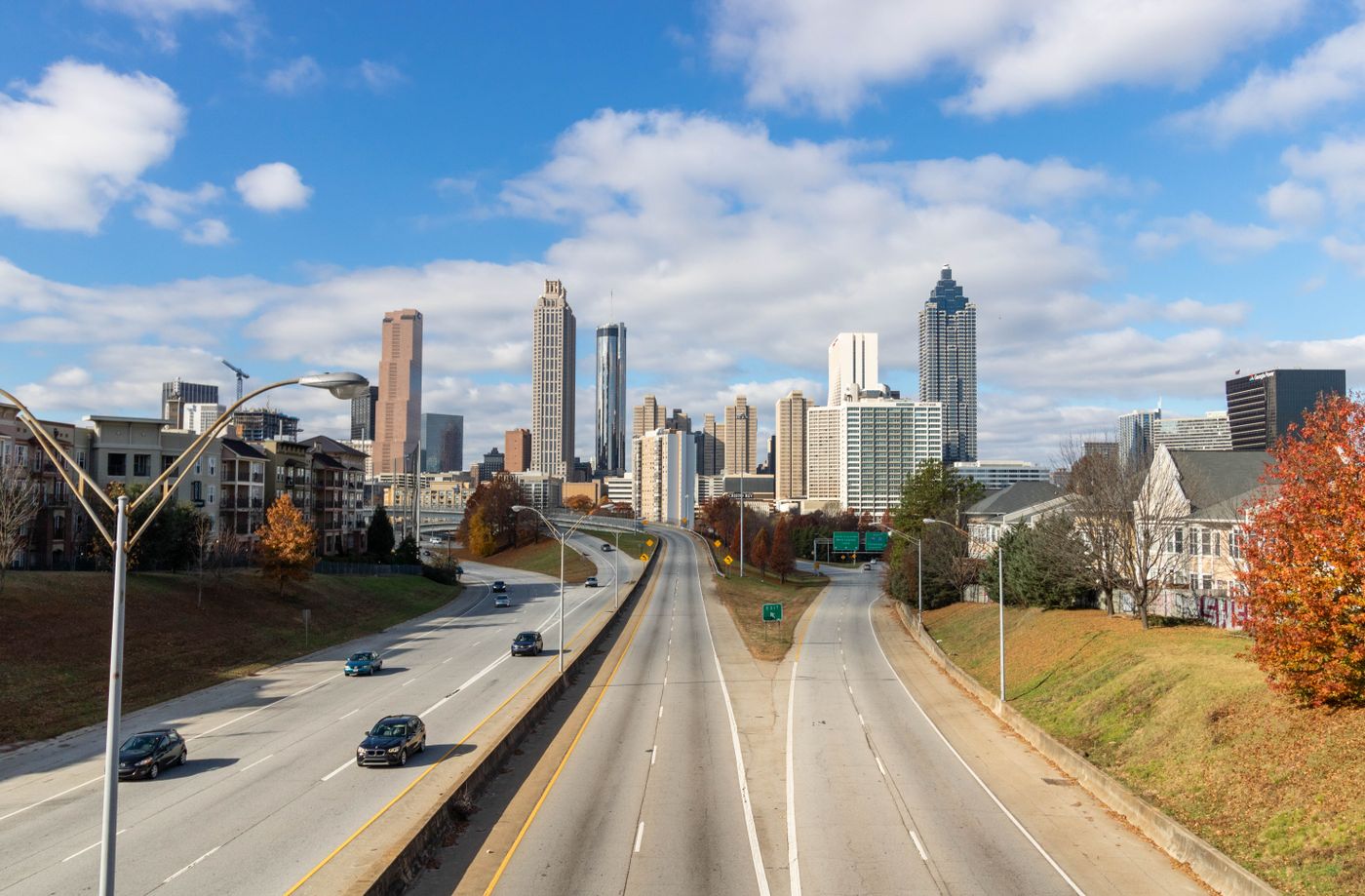
The honest half of this piece is that you cannot see most of Sweet Auburn. The motorway did not clip the edge of the neighbourhood. It was routed through the middle of it, and the middle is where the density was. What you can walk today is the northern remnant: a street that still has buildings on both sides in places, that still has churches and a few commercial blocks, and that ends, in effect, at a trench. The southern half of the historic district is gone or is on the other side of a road you cannot cross on foot except at specific points. Any account of the street that does not start with that subtraction is describing somewhere else.
This matters for who should come. If you want a preserved historic district with a coherent narrative and a single entrance, Sweet Auburn will frustrate you. The surviving fabric is discontinuous. There are gaps where buildings were cleared, surface lots where blocks used to be, and a motorway corridor that separates you from what remains on the far side. You will walk past things that look like nothing and turn out to be the site of something. You will also walk past things that look important and turn out to be later infill. Without a map that distinguishes the two, you will misread the street. Bring one, or accept that you will misread it.
The list you have just read is a route, not a ranking. Some of the stops are a single building. Some are a view. Some are the absence of a building. If you are travelling with someone who needs a continuous, signposted experience with facilities at each point, this is not the walk for them, and that is not a failure of the street. It is what a cut neighbourhood looks like. The alternative is to treat the avenue as a backdrop to the King site and go no further, which is what most visitors do. That is a legitimate choice. It is just not the one this piece is describing.
What this piece cannot tell you is how any of it feels on the day you go. It cannot tell you whether a particular block is quiet or busy, whether a building you want to see is open, whether a pavement is closed for works, or whether the light at a given hour makes the street legible. Those things change. It also cannot tell you what a resident would tell you about the street's present, which is a different subject from its history and one that deserves its own piece. Use this as a way of reading the fabric. Do not use it as a substitute for being there and looking.
How to read it now
Walk it in one direction and do not double back. Start at the western end, where the street still has both sides and the commercial geometry is easiest to read, and move east. The reason for one direction is that the street's logic is sequential: the density thins as you go, and the motorway interruption comes at you as an event rather than as something you have already seen from the other side. If you walk it both ways, the gaps stop reading as gaps and start reading as scenery. Go early in the day if you want the light on the north side of the street, which is where most of the surviving facades are. Check opening arrangements for any building you specifically want to enter, because they are not uniform and they are not printed here.
Read the upper floors. The ground floors of a commercial street are the most altered part, because shops change hands and shopfronts get replaced. The upper floors are where the original scale survives: window spacing, brickwork, the height of the storeys, the way a corner building turns. If you only look at street level, you will see a strip of modern shopfronts and conclude that little is left. If you look up, you will see the commercial district. This is the single most useful habit for this street. It also helps you distinguish the buildings that predate the motorway from the ones that filled the gaps afterwards, which is the distinction that matters most here.
Treat the motorway as part of the subject, not as an obstacle to be got past. Stand where the street is severed and look at the width of what was removed. That is the piece of the neighbourhood you are not walking through, and understanding its scale is the point of the route. Then continue east, where the street resumes a different character, and finish around the transit stop rather than doubling back to the start. If you are staying in Sweet Auburn itself, the walk is at your door, which is the argument for the neighbourhood as a base. If you are staying downtown, it is a short ride or a longer walk, and the approach from the west is the better direction of arrival.
Finish before dark unless you have a reason to be there after. The avenue is quiet in the evening in a way that suits some travellers and not others, and the quiet is a consequence of the same subtraction you have been reading all day. If you want a longer walk, the neighbourhood connects to the trail network to the east, and you can extend the day that way rather than by looping the avenue again. Eat before you go or after you finish, not in the middle, because the commercial strip does not have the density of food places it once did. Then put the map away and walk the last block without it.
This piece is compiled from the venue's and the operator's published information and from this site's own neighbourhood checks, not from a visit. Prices, opening hours and anything that moves week to week are not printed here; check the venue's own page for your date. One thing that cannot be measured from a desk is how the street's gaps read on the ground, because the scale of what was removed only becomes clear when you stand in it. Nothing on this page is paid placement.
Read the method ↗